I can see clearly now...
Taxiing aircraft and ground vehicles can now be tracked in poor visibility at several Saudi Arabian airports following installation of a new system. Alan Dron reports.

Most airports around the world do not have to cope with sandstorms, but they are a fact of life for many in the Arabian Peninsula. And, when sand blows in off the desert – powder-fine or coarse and heavy – it can cut visibility drastically.
That poses problems for ground controllers trying to keep track of aircraft moving around taxiways and aprons at those airports, as well as the many vehicles that are essential to the smooth running of operations, such as fuel tankers, catering trucks and bird-scaring teams.
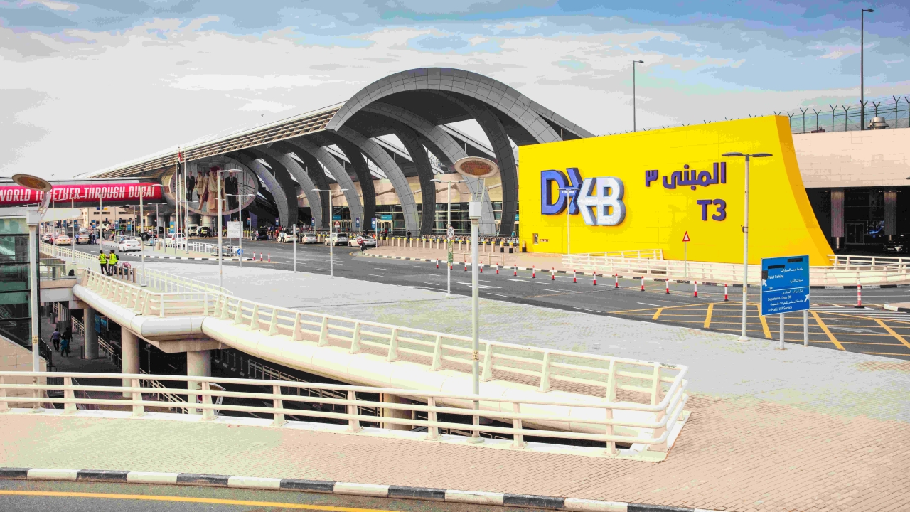
Now, a system from Spanish company, Indra, is helping controllers track ground movements at King Khalid International Airport Riyadh and Prince Muhammad bin Abdulaziz Airport, Madinah.
The advanced-surface movement guidance and control system (A-SMGCS) introduces vehicle and aircraft movement tracking systems on the runways and taxiways in low-visibility conditions.
This technology will increase safety and help to avoid reducing landing frequency or closing down completely due to adverse weather conditions.
Indra is providing A-SMGCS to the country’s air traffic control organisation, Saudi Air Navigation Services (SANS) so that it can maintain maximum management capacity and performance at both airports, even in the event of a sandstorm.
“We could go to zero visibility. We don’t stop flights, but everything slows down,” said SANS director, air traffic management, Abdulrahman Alzahrani.
“A-SMCGS is helping us with poor visibility, so we can ‘see’ the aircraft on the taxiway and any obstacles such as ground vehicles.
“In the control tower we would have a screen and the layout map of the airport in front of the controller. He will see the aircraft moving on the manoeuvring area.”
Last year, Riyadh and Madinah experienced severe storms that reduced visibility to a minimum. Under these conditions, air and land access to these cities is severely limited.
And other airports can even be blanketed by fog, noted Alzahrani. “It’s a problem at certain times of the year, especially in the eastern part of Saudi Arabia, when fog can roll in off the sea, affecting airports such as Dammam.”
To avoid this and reduce delays and losses, A-SMGCS’s sensors will superimpose the position of aircraft and vehicles on a digital map of the airfield, allowing controllers to warn aircraft and vehicles of each other’s proximity.
The system will also prevent aircraft from accidentally straying past ‘hold lines’ and entering live runways during periods of poor visibility.
“I don’t think, so far, we need it in other airports. But, if we have a need, we will install it for sure,” said Alzahrani.
A-SMGCS will incorporate control positions for the tower staff and the most advanced multilateration systems and surface radars to monitor any movement on the taxiway and flight areas.
Indra and SANS will also deploy a wide area multilateration system (WAM) that will extend surveillance for up to 50nm from each of the two airports.
Multilateration uses a number of ground stations placed around an airport, its local terminal area or a wider area that covers the larger surrounding airspace.
These units listen for ‘replies’, typically to interrogation signals transmitted from a local secondary surveillance radar or a multilateration station. Since an aircraft will be at a different distance from each of the ground stations, its replies will be received by each station at fractionally different times. Using advanced computer processing techniques, these time differences allow an aircraft’s position to be precisely calculated.
Indra will also implement an advanced WAM system to monitor every movement that occurs in airspace surrounding Yanbu airport on the Red Sea, as well as Riyadh and Medina airports.
The system will collect information about the position of each aircraft in the terminal control areas of the three cities. Terminal control areas, in which a large number of routes converge, are separated from the rest due to their complexity, so that they can be given special attention.
Indra claims that its multilateration system is one of the most advanced in the world, due to a combination of reliability and refreshment rate.
Stay up to date
Subscribe to the free Times Aerospace newsletter and receive the latest content every week. We'll never share your email address.